Part 2 of our trip through Canada! If you’re just catching up, we last shared some of the sights, sounds, and tastes from Prince Edward Island, which you can read more about here.
In the past, we had heard about both the Bay of Fundy in Nova Scotia, and the Cabot Trail, but didn’t know much beyond that the tides are pretty incredible, and that Cabot Trail is one of the most scenic drives in Canada. This time we did our research and headed out to experience the tides on the Canadian side of New Brunswick firsthand. As for the Cabot Trail, we had a bit of a slow start, but the coastal scenes of Cape Breton Island didn’t disappoint!
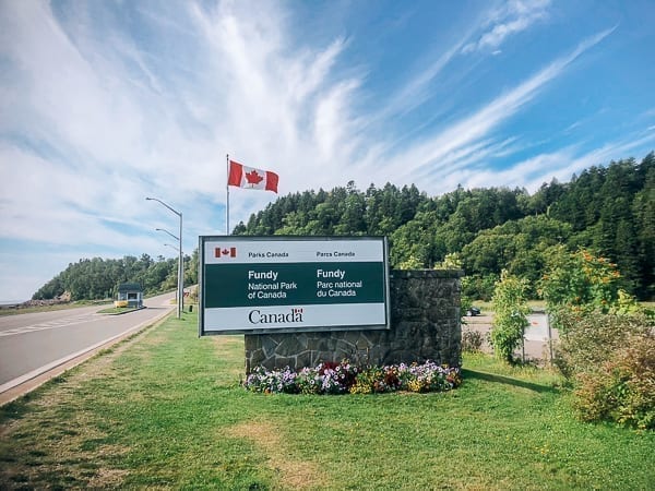
Our Canada trip started when we crossed over the border from Maine, continuing on to Saint John, New Brunswick where we stopped at the market to get some Canadian loonies and lunch before heading on to Fundy National Park.
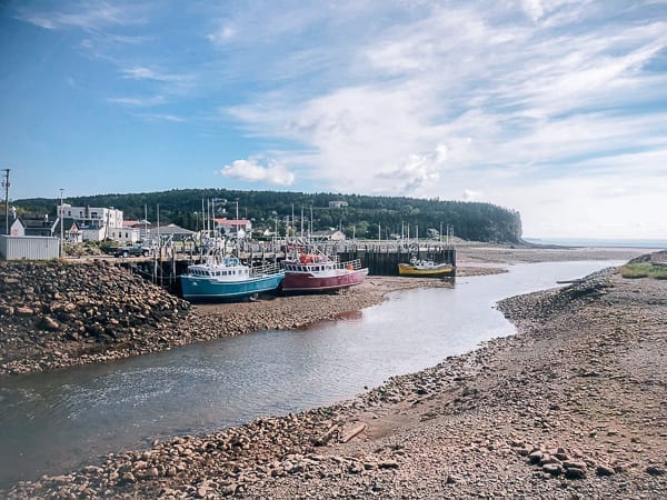
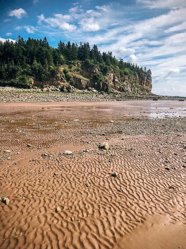
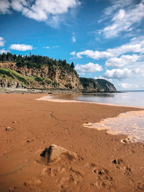
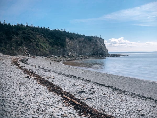
We stayed at the Chignecto Campground, which had larger wooded campsites for RVs. The next morning, we made the short drive to Alma to walk the beach at low tide. Alma is a quaint town with restaurants, a nice beach, and a marina, and we got a good view of the boats docket in the sand during low tide.
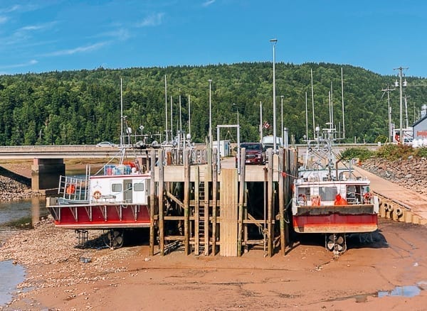
The boats parked in sand and rocks (due to the extreme changing tides) was an amazing sight, and our first experience of why the tides are so famous in the Bay of Fundy.
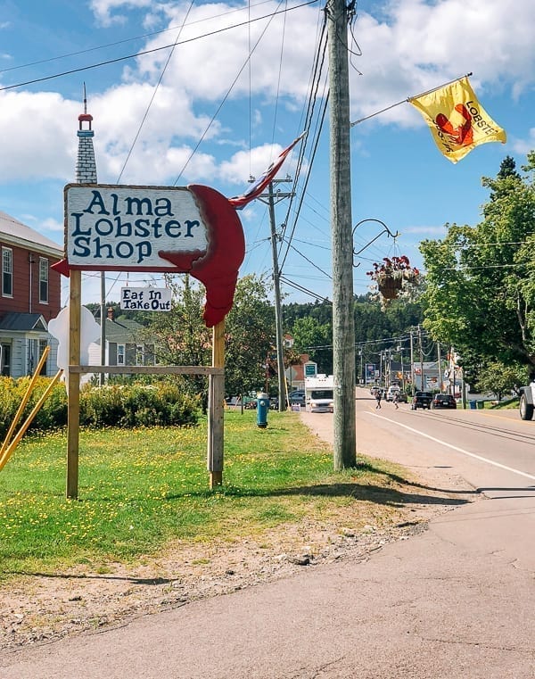
On the way back from our walk, we decided to stop by the Alma Lobster Shop for lunch.
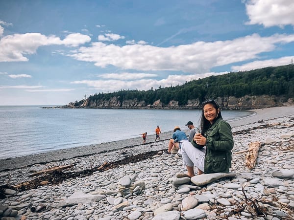
It was cool to take a long walk out onto the beach to the ocean, but it’s best to wear rubber boots and keep an eye on the tide schedules. The farther out I went, the muddier it became, and my so-called “waterproof” hiking boots were loaded with mud.
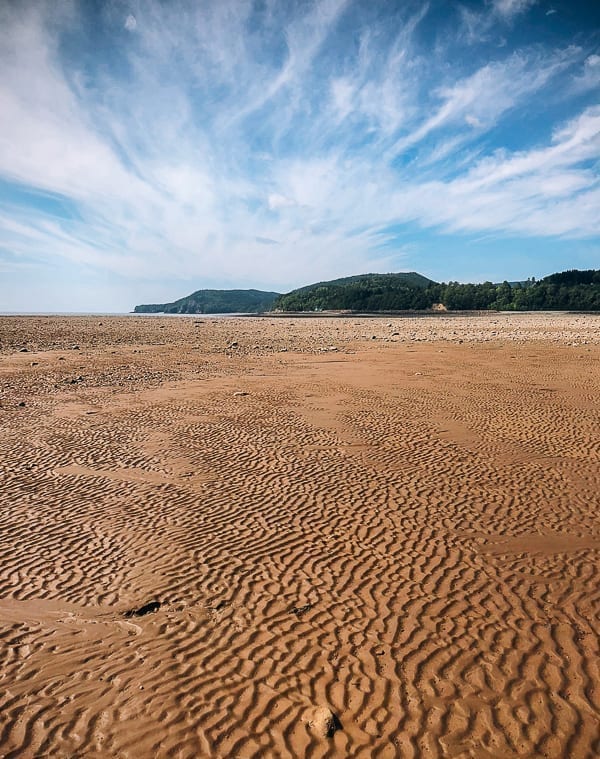
Though it’s pretty incredible to think that where I was walking is normally deep enough for boats to pass during high tide.
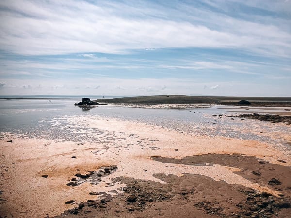
After 10 minutes, I reached the edge of the ocean, and I almost made it to a sand bar until I realized the tide was already coming in––and quickly.
It was a bit eerie how fast the water came in. That said, you do have to be very careful about going out too far, or you may get very wet swimming or wading back to shore while the tide rushes in. Tide planning for your visit is quite important and you will see why as you read on to our next stop!
Cape Enrage and Hopewell Rocks
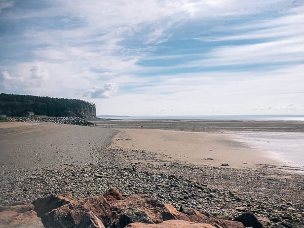
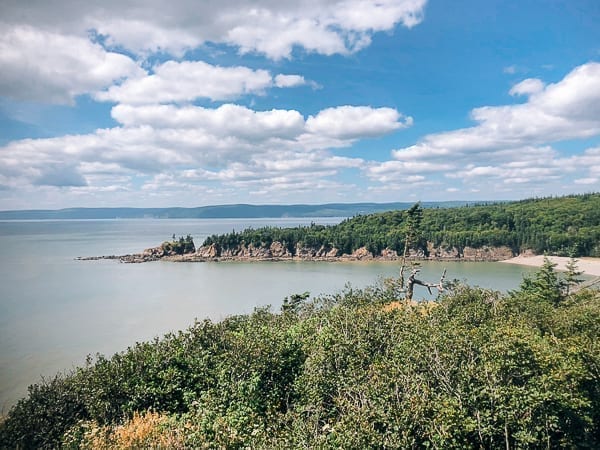
On the way to Hopewell Rocks, we drove past beautiful Waterside Beach and Cape Enrage.
After marching on the rocks and rough sand, we took the chance to relax a bit on the cool gravel beach.
A short drive farther up the hill to find Fundy’s Cape Enrage yielded great views.
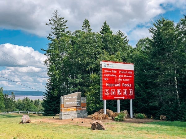
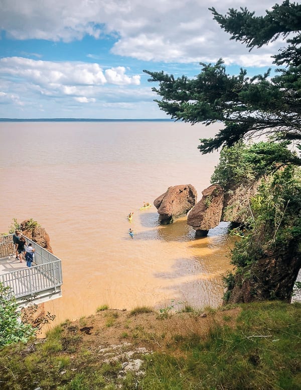
Soon we saw signs for Hopewell Rocks. As you can see, all of the scenic points are quick to remind visitors of the tides!
There was a timetable posted at the opening of the stairs down to the beach. They open the entrance to the beach at low tide and shut it down near high tide. At high tide, you have to enjoy the view from the metal stairs or from the top of the platform.
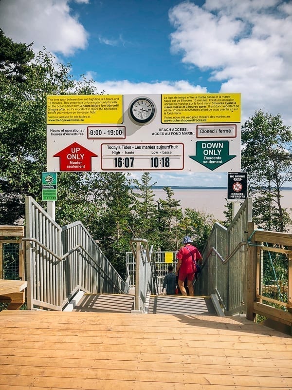
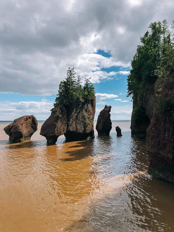
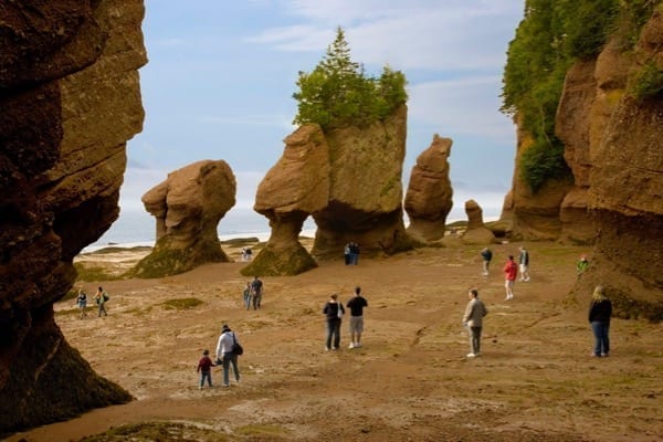
One thing we learned is that you must check the tides to either walk on the beach at low tide or see the beach and rocks flooded during high tide. Some clever planning is needed to see both low and high tide in one day, or you can always stay in the area for two days and come back, since the admission pass is good for two days. When we arrived, the tide had come in already, and they had just closed access to the beach!
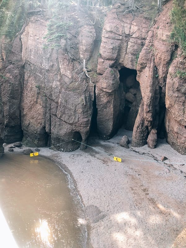
We chose to walk the beach at Alma during low tide and then see Hopewell rocks at hide tide, but for our next visit, we will have to plan the opposite. But the view from the platform at high tide wasn’t bad at all!
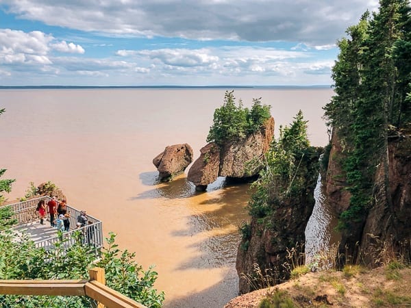
Kayakers paddled around the flower pot rocks at high tide, which was another thing we’ll have to add to our list for next time we visit.
So the best tip we can give is to check the tide table and plan your visit accordingly! (Aside from bringing plenty of bug repellant. The mosquitoes were fierce, and I got eaten alive on the short walk to/from the parking lot to the viewing area.) You can check out the New Brunswick Hopewell Rocks Tourism site to plan your visit!
From Hopewell Rocks, we crossed over to Prince Edward Island over the Confederation Bridge. If you want to hear more about our PEI experience, check out our post: Prince Edward Island Canada: Red Cliffs and Potatoes.
From Prince Edward Island, we landed at Caribou, Nova Scotia from the Wood Island ferry to officially begin our tour of Nova Scotia!
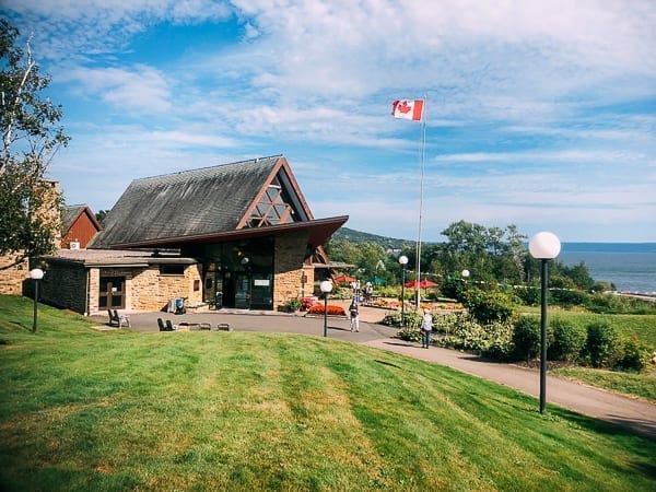
Alexander Graham Bell Historic Site
We continued to Baddeck, Nova Scotia to stop at the Alexander Graham Bell historic site and his former home. He had good taste. It was a spectacular location, situated on a hill overlooking Bras d’Or Lake. Scientist, inventor, and an eye for real estate!
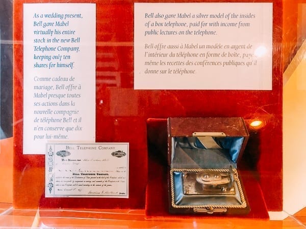
If you’re a history buff, this was a great stop. There were lots of personal artifacts like these. They say behind every great man is a strong woman, and it looks like that was Alexander Graham Bell’s wife, Mabel.

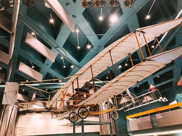
Alexander Graham Bell is best known for inventing the telephone and telegraph, but in those days, he also dabbled in building submarines…
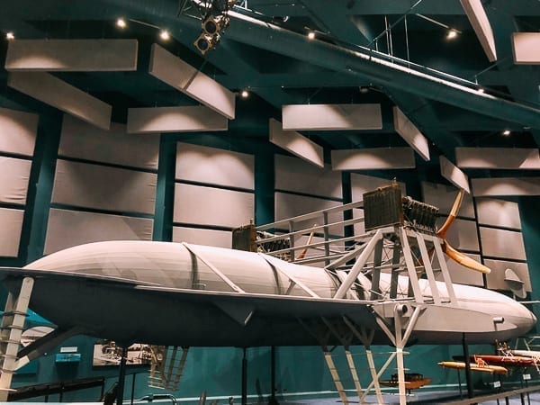
And planes!
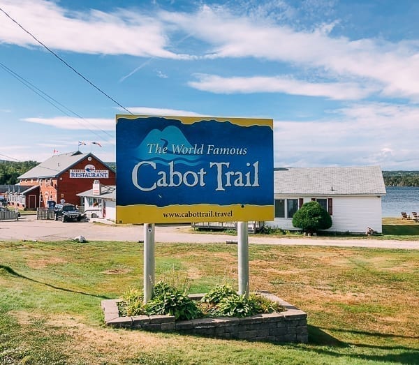
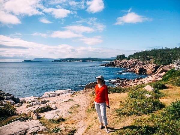
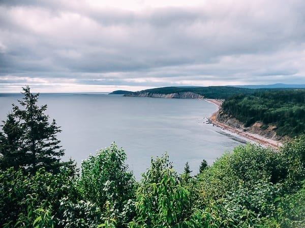
After our history lesson at the Alexander Graham Bell site, we decided to start our scenic Cabot Trail drive, which is considered one of the most scenic in Canada. You can start the drive on the eastern or western side of Cape Breton. We chose to start on the eastern side to get the best views of the ocean.
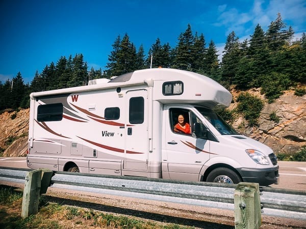
(A quick word of advice is to make sure you fill up on gas, which is especially important if you’re driving a camper like ours or using diesel vehicles, since not all gas stations have diesel, and there weren’t many on the drive. The drive is very steep, traversing hills and mountains and then going back down to sea level, so you’ll want to be prepared!)
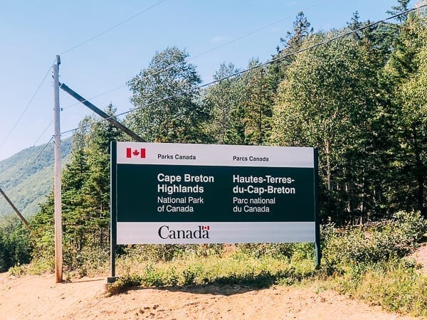
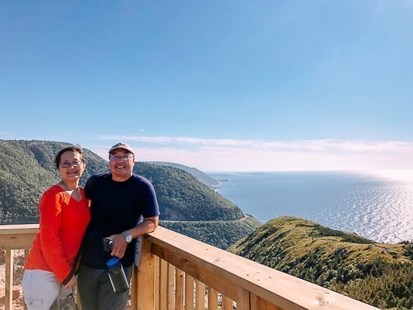
Cape Breton Highlands National Park is about 90 minutes from the Alexander Graham Bell historic site, so our plan was to stay in the park for the night.
After a short stop at the Ingonish Visitor Center, we checked in at Broad Cove Campground early––plenty of time to relax and have a nice steak dinner. The next day, our first stop in Cape Breton was Lakies Head.
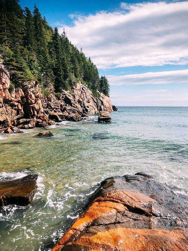
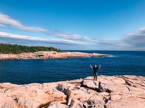
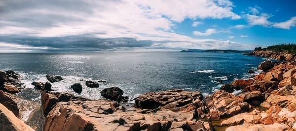
Finally, we got some truly spectacular views and spent some time hiking on the rocks to take in the beautiful scenery. And the crisp fall weather couldn’t have been better!
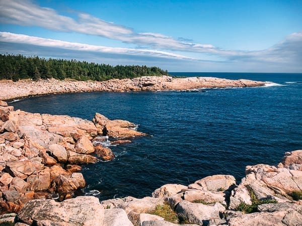
These are just some of the gorgeous coastal views that make the Cabot Trail drive so special.
I did a little bit of rock scrambling to get that perfect panoramic photo.
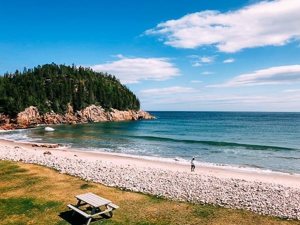
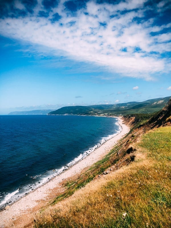
Our next stop was Black Brook Beach. It looked like a perfect place for a swim. Maybe in my younger days, but I thought better of it given how cold and windy it was. Although the beach is beautiful, you could tell from the waves that you’d do well to respect the ocean in Nova Scotia.
While there were plenty of great views, we also never know who we might meet on the road. Judy struck up a conversation with a couple––we’re always exchanging intel and war stories about campers and RVs on the road––and we later found out that they were a family of professional skiers and even represented Canada in the winter Olympics!
Half of the fun of driving rather than flying around the country is meeting so many friendly and interesting people. After exchanging tours of our campers, we both hit the Cabot Trail to continue enjoying the views and scenic pull-outs.
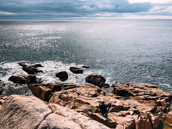
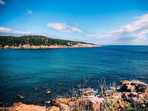
While we spent most of our time hiking and driving around, there are lots of great places to stop on the Cabot Trail for fishing, whale watching, hiking and water sports.
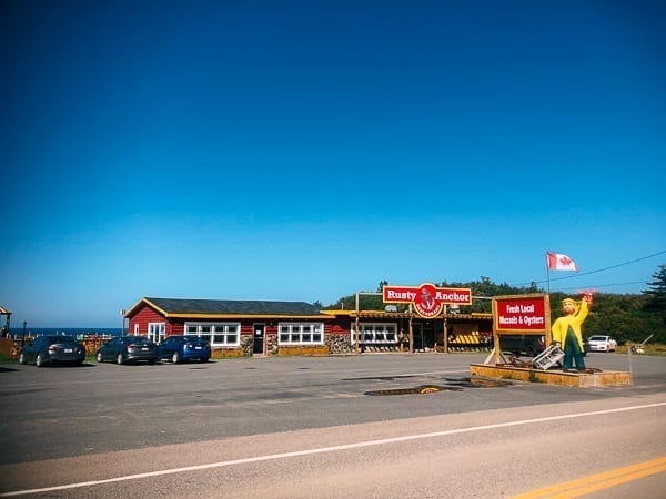
Our next stop was the Rusty Anchor for both lunch and for more great views. We went for the healthy version of the fisherman’s platter with a sautéed (instead of the usual deep fried) seafood mix of mussels, shrimp, haddock, scallops and a potato salad (instead of the usual fries–okay, so it’s not much healthier, but perhaps somewhat better for you!).
The seafood was fresh and expertly prepared, and it was a rare moment where we didn’t take any food pictures before diving into our plates! (Apologies, readers!)
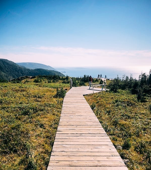
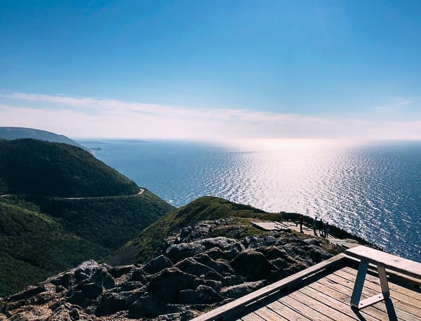
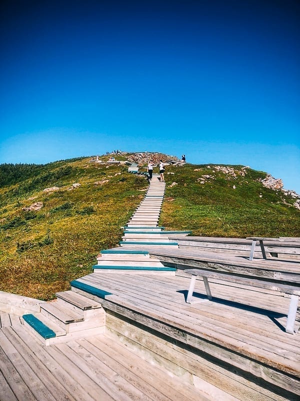
The next stop was the Skyline Trail, a 4 mile or 5.1 mile hike if you do the loop. The hike starts as a gravel path where you have to cross over areas fenced off from moose. Apparently, the moose do quite a bit of damage to trees, so the fence is part of a study to measure just how much they impact the surrounding areas.
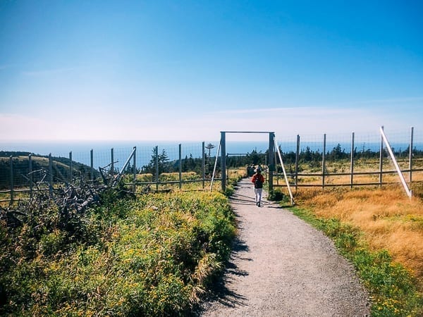
The path winds uphill and then turns into a wooden boardwalk continuing the ascent before winding back down the hill.
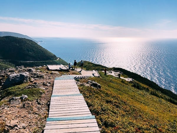
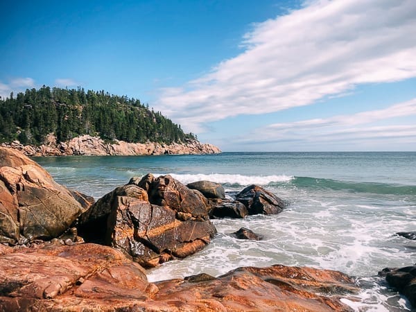
If you’re looking for wide expanses of ocean and fairly easy accessibility, it doesn’t get much better than the Cabot Trail drive.
Since the boardwalk wasn’t a loop trail, what goes down must come back up. We had some good exercise that day!
Judy decided to return back the same way we came, as it is a shorter hike, but I did the full loop for a little exercise. The loop portion traverses some woods and grassy fields and provides the best chance for moose sightings. In fact, I had just missed a moose sighting as people passing told me they just saw a moose go into the woods!!!
(Our family isn’t very lucky when it comes to moose sightings. Our family trip to Alaska, our daughters’ recent trip to Yellowstone (post coming soon), and now Cabot Trail–all without a moose in sight!)

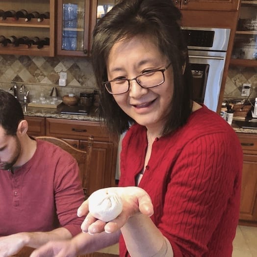
After the hike, you could see people returning ravenously inhaling granola bars, fruit, and energy drinks. Judy and I each had a Pineapple Cha Siu Bao Bun–prized leftovers from Sarah’s recipe with a thermos of coffee to keep us alert for the two hour drive to North Sydney where we’d be staying for the night.
Judy picked out the arm of gold RV park because it had propane fill-up, lots of availability, and an RV washing station, and because it was on the way to our next destination. We pulled in pretty late just after dark, and that night, we had Sarah’s Instant Pot Curry Beef that we froze for the trip along with some extra daikon radish and carrots. We’ll have to make sure we have blogging sessions right before heading out on our cross-country trips more often!
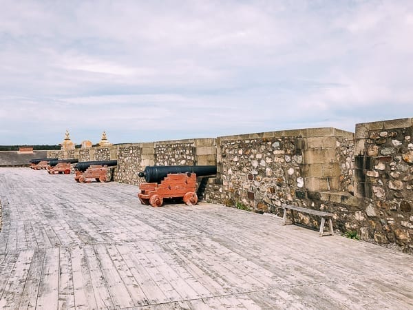
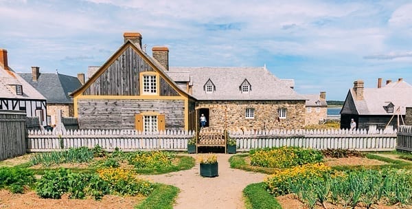
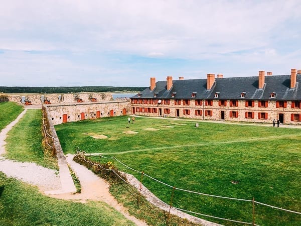
Fortress of Louisbourg
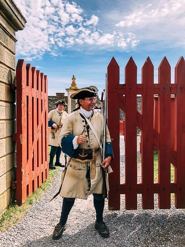
With a new day and slightly sore muscles from the hike reminding me that I should get out more, we headed to the Fortress of Louisbourg, a National Historic Site of Canada.
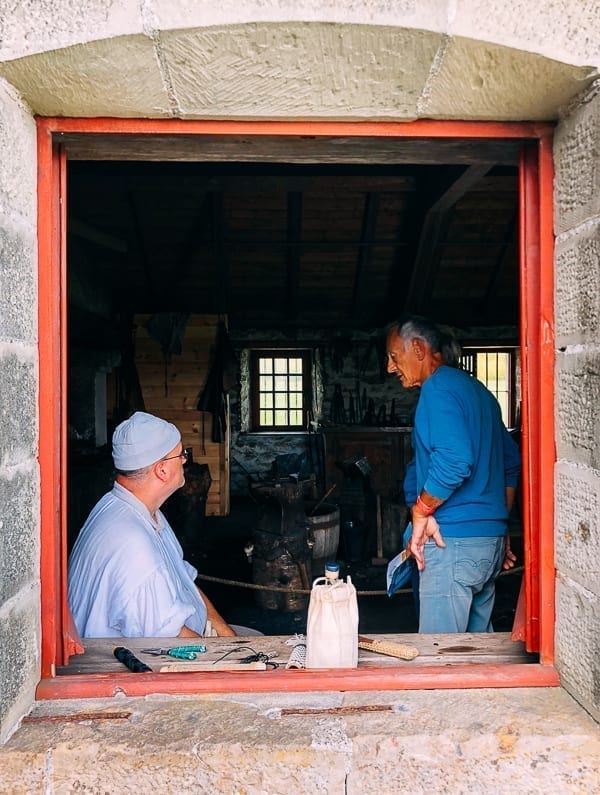
After paying our admission of $17.60 (totally worth it) and a short bus ride and walk from the visitor center, we were greeted at the gate by this friendly guard.
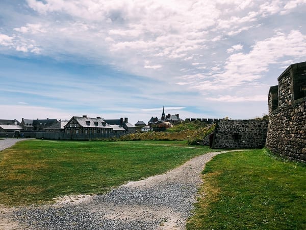
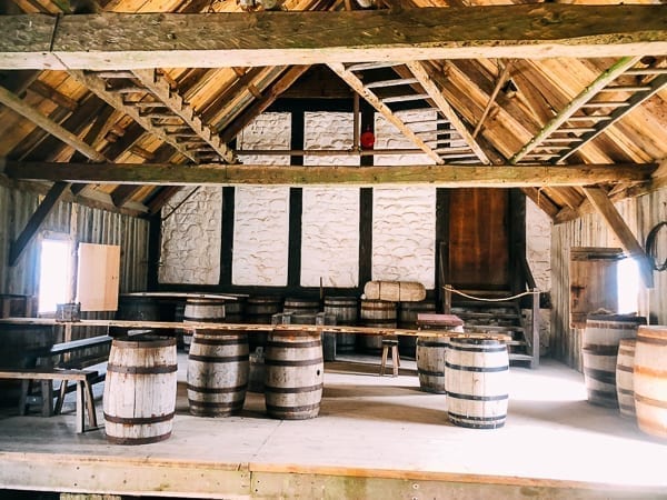
Apparently, the difference between a fort and a fortress is that a fort is a fortified military position while a fortress actually encompasses a town for a larger battalion of troops. Well, Louisbourg is a fortress that was partially reconstructed and an interesting and educational way to spend a morning or afternoon.
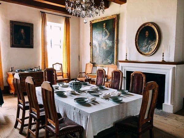
The grounds and gardens were well kept, and you had a feel for what it was like to be in an old fortress town.
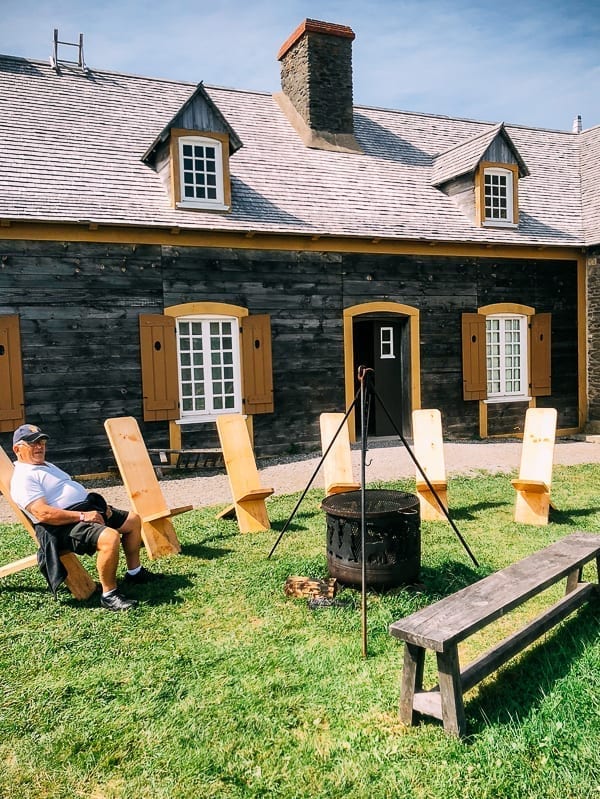
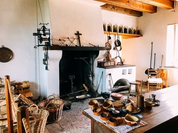
Judy especially enjoyed touring the buildings and seeing the old furniture and kitchens.
I’m sure there are more than a few food bloggers out there who would jump at the chance to cook in this space!
We had a nice lunch and chatted with fellow travelers, a couple from South Ontario and a couple from Washington state. We shared travel notes and information, and the couple from Washington showed me a photo of a moose they saw at Skyline trail, which was probably the one I missed during our hike, and the closest I got to seeing one!
Even so, our day at Louisbourg was a perfect end to our short visit to Nova Scotia, and we decided that we need a return visit to experience more!
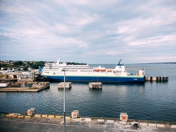
With that in mind, we made our way to North Sydney for our long ferry ride to Argentia to make our way to Newfoundland…
More on that in the next installment!